Confirm the river reach before using the forecast
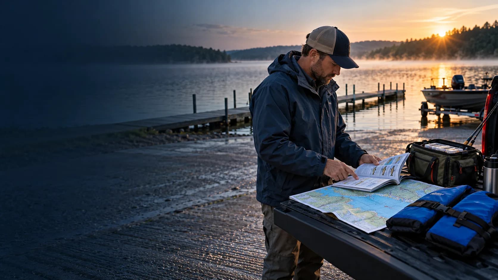
A city or county name is not precise enough for a river forecast. Confirm the map point, nearby access, and the upstream or downstream reach you intend to fish. Flow, dam influence, wind exposure, hazards, and special regulations can change along the river.
When a relevant gauge or provider value is available, retain its source and update time. When it is not available, do not treat a distant gauge as an exact local reading without labeling the limitation.
Combine weather planning with river access rules
Review pressure trend, precipitation, wind, temperature, and safety alerts before selecting the target species and fishing window. Recent rain can matter to river conditions even when the sky has cleared at the launch.
Wisconsin navigable-water access is public only through lawful access or landowner permission. The DNR's stream-access guidance explains the keep-your-feet-wet framework and the limited circumstances for using exposed shoreline. Verify the law and local access before the trip.
- Exact river reach and mapped access
- Recent precipitation and available flow context
- Pressure, wind, temperature, and alerts
- Target species and seasonal timing
- Current reach-specific regulations and lawful access