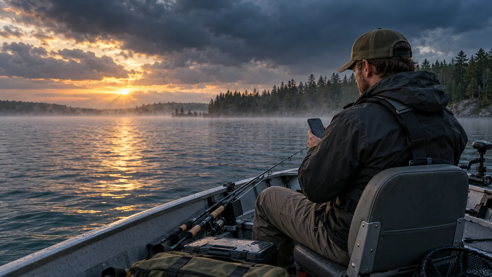
Bringing fishing information together
Preparing for a fishing trip can involve checking several different resources. One service might provide weather, another might show lake contours, and another may cover fish behavior or local regulations.
Fishbox is designed to simplify that process by combining several useful tools in one place. Having this information together can make it easier to build a basic plan before leaving home.
- Fishing maps with depth contours and satellite imagery
- Hourly bite-time forecasts
- Weather, wind, pressure, tide, wave, and solunar information
- Profiles covering fish habitat and seasonal behavior
- Fishing-license and regulation guides
- Freshwater and saltwater fishing information
Explore water and structure
Understanding the shape of a lake or river can help anglers narrow down where to begin. Fishbox maps include bathymetric contours and satellite imagery that can help identify points, drop-offs, channels, shorelines, and other potentially useful structure.
Maps cannot show exactly where fish will be, but they can reduce guesswork and help anglers approach unfamiliar water with a clearer starting point.
Compare bite windows with current conditions
Fish activity is affected by more than the time displayed on a clock. Light, wind, temperature, barometric pressure, tides, seasonal movement, and other changing conditions can all influence a fishing day.
Fishbox presents hourly bite-time forecasts alongside fishing-focused weather information. This gives anglers an opportunity to compare promising time periods with the conditions expected on the water.
A forecast should always be treated as planning guidance rather than a guarantee. Local conditions, forage, fishing pressure, water clarity, and presentation still matter once the trip begins.
Learn about the fish you are targeting
A fishing plan becomes more useful when it is connected to a specific species. Fishbox includes species profiles covering habitat, behavior, and seasonal patterns for popular freshwater and saltwater fish.
That information can help newer anglers understand why a fish may favor certain depths or types of cover. Experienced anglers may also find it useful when researching an unfamiliar species or preparing for a trip outside their normal area.
Review licenses and regulations before fishing
Responsible trip planning includes checking licensing requirements, seasons, size limits, and water-specific rules.
Fishbox provides state fishing-license and regulation guides as a convenient starting point. Because regulations can change, anglers should always confirm the current rules with the appropriate state or local agency before keeping fish or fishing unfamiliar water.
A useful option for planning the next trip
Fishbox offers a positive combination of maps, forecasts, weather, species information, and general fishing resources. No app replaces observation, experience, safety, or time on the water. The best fishing tools organize useful information while leaving the final decisions with the angler.
For anglers who enjoy preparing carefully and learning something from every trip, Fishbox is worth exploring as part of their fishing toolkit.
- Research unfamiliar lakes, rivers, or coastal areas
- Compare structure before choosing a starting location
- Review bite windows and weather in one place
- Learn about a new target species
- Reduce the number of separate resources used during trip planning
About this collaboration
This article was prepared as part of a reciprocal link collaboration. Wake and Lake independently reviewed its content and the publicly available Fishbox features described above.